"What is a map? In semiotic terms (where meaning is a matter of marking) a map is a sign or coherent combination of signs, a codified set of marks that indicate the details and nuances of topographical and political actualities. Unlike a flag in which symbolic associations have been invested (normally by the sociopolitical group which identifies with the flag), a map does not express poetic ideals, refined metaphors (e.g. red = courage, green = forest), or historical images (as in heraldry). In a map, rendition imitative of the method of mathematical geometry - lines (contours) on a graph - is enhanced with signifiers to compose a scale model of a specific area in real space. The scale-model nature of a map gives it a basis in concrete reality, but the engagement of sign systems introduces the map into the context of non-physical conception. Mapping is a form of communication that is doggedly accurate (or strives to be anyway), yet entirely disembodied.
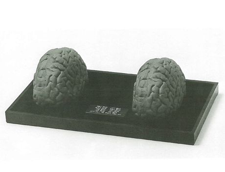
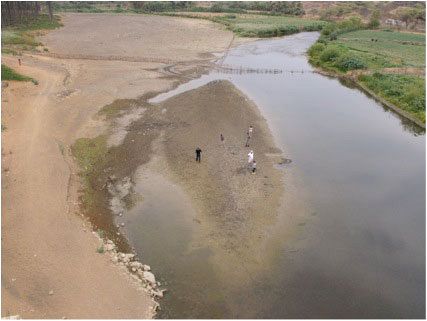
The concept of 'regions' predominates in works as apparently disparate as Sol Lewitt's excerpt from an aerial photograph and Harold Cohen's abstract (if worded) painting. The territories isolated in the very different pieces of Claes Oldenburg, Julius Valiunas, Susan MacLeod, and Jerry Jones bear geopolitical currency, their boundaries serving to activate the artist's - and thereby our own - knowledge and beliefs about these places beyond their shapes. James Hill's African reference is poetic while Frank Bowling's is painterly, but the constellation of associations any of us have with the Black Continent instantly becomes part of the 'meaning' of the work. Although routes and regions may figure prominently in many artworks, most of the works in the exhibit incorporate them into larger visual and iconographic considerations, considerations which come under the rubric of charts. That charts are used or made by artists more frequently than the essential component routes and regions is understandable: charts convey the most visual and conceptual information at a glance and blur the distinctions between the visual and conceptual forms of cognitive address most completely. Ultimately, artists can experiment with the very forms and conventions of cartography, as in the radical projections of Agenes Denes and, particularly, Buckminster Fuller.
As observed, the consideration of the map format as a self-sufficient structure for artistic expression has been possible only in our time, a time in which ideas and images have reached new extremes of simplicity and refinement and of complexity and interfusion. Maps embody all of these extremes. They have to. Ultimately they are not just about the shape and space of art, but the shape and space of life."
- Excerpt from catalogue essay by Peter Frank, 1981


